
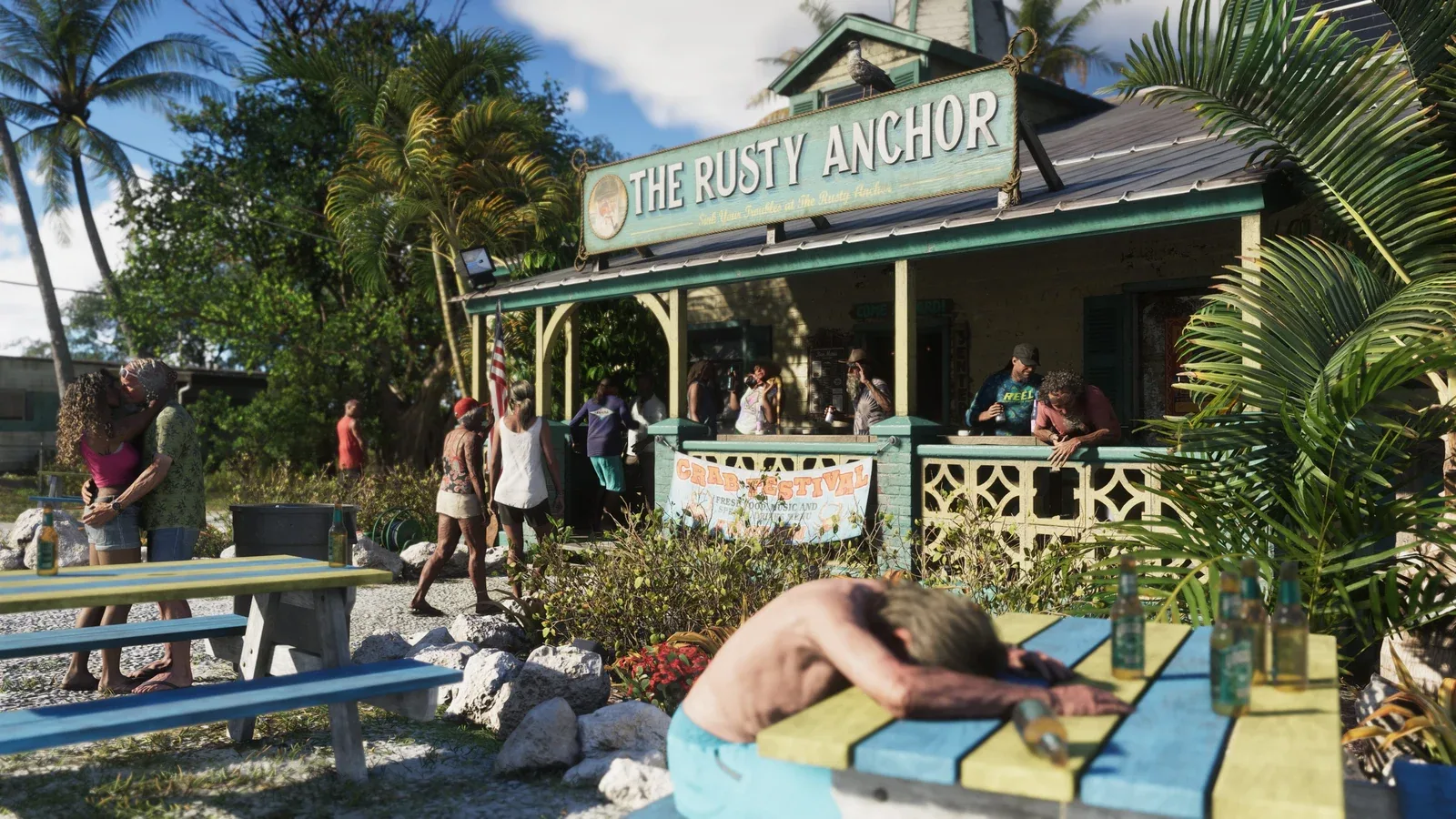
How is the community map created?
Fans are reconstructing Leonida from trailer images, screenshots, and comparisons with real locations. The methodology article describes the division of labor between cartographers and analysts.
Community & open questions / GTA VI
The large bridge views are prompting many distance estimates on Reddit. However, a reliable travel time requires a verified route and measurements taken within the released game.
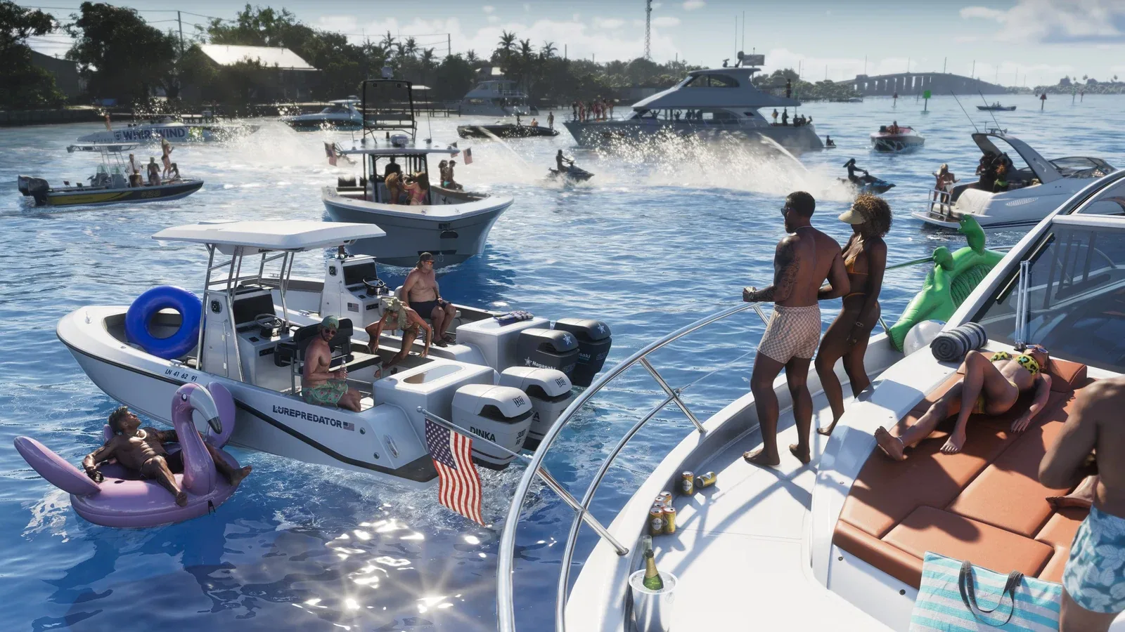
THE RECEIPT
The Keys thread demonstrates the anticipation of fast drives through the island region. An expectation of scale is derived from the visible or reconstructed shape of the track. This is a vivid example of how landscape images can trigger personal plans for later free exploration.
Travel times depend on road length, vehicle, traffic, and interruptions. A real bridge does not provide a reliable benchmark for Leonida. Therefore, time estimates remain speculative until a trip is documented with a start, destination, and conditions.
Sources: Can't wait to drive down here at 200mph! look how LONG this goes for ↗
"Still open" describes the status of the sources examined here. A definitive statement will only be added once reliable evidence is available.
Fans are reconstructing Leonida from trailer images, screenshots, and comparisons with real locations. The methodology article describes the division of labor between cartographers and analysts.
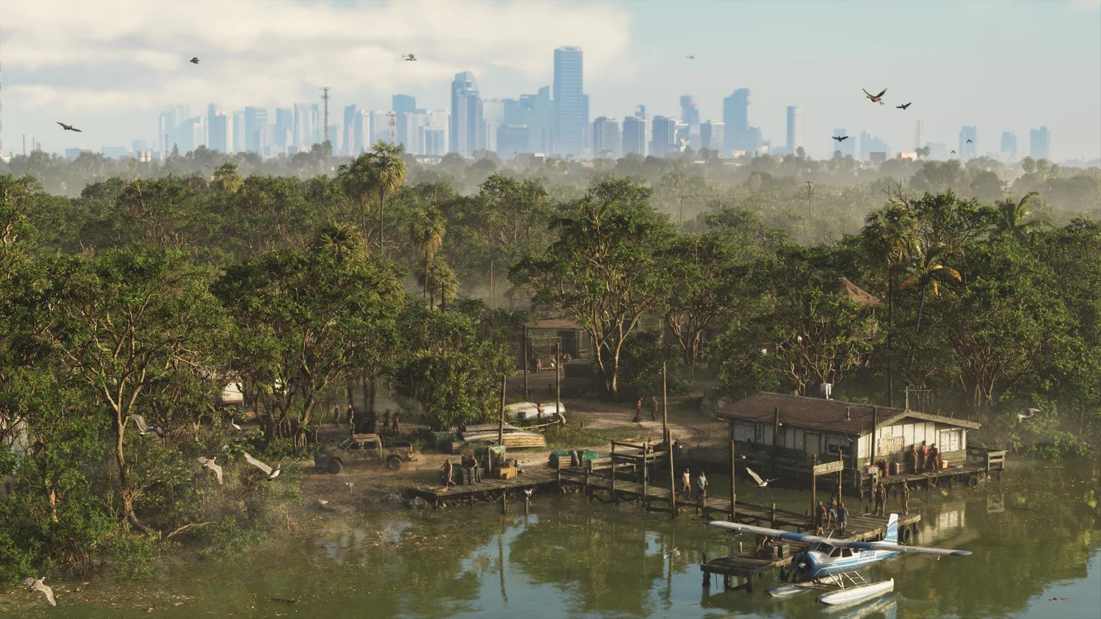
Unlabeled areas on a fan map initially indicate gaps in knowledge. This does not necessarily mean that the finished game world will remain empty in those areas.
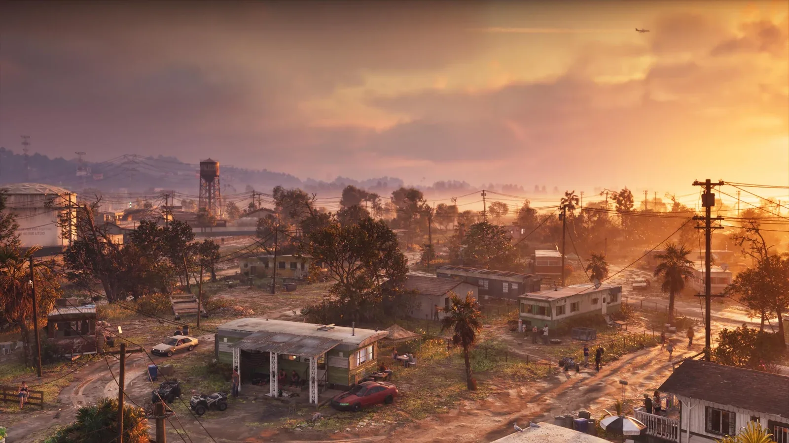
The mapping community is constantly revising locations, outlines, and place names. Therefore, older maps should always be shown with their version number.
Found better evidence? Send source reference ↗
YOUR VIEW
Keep it factual and respectful. Insults, profanity, discriminatory, sexual or other offensive content are not allowed. Comments are published after review.
Loading comments …